Sat, 18 Nov 2023 12:21:50 EST by draxionangel, 57296 views
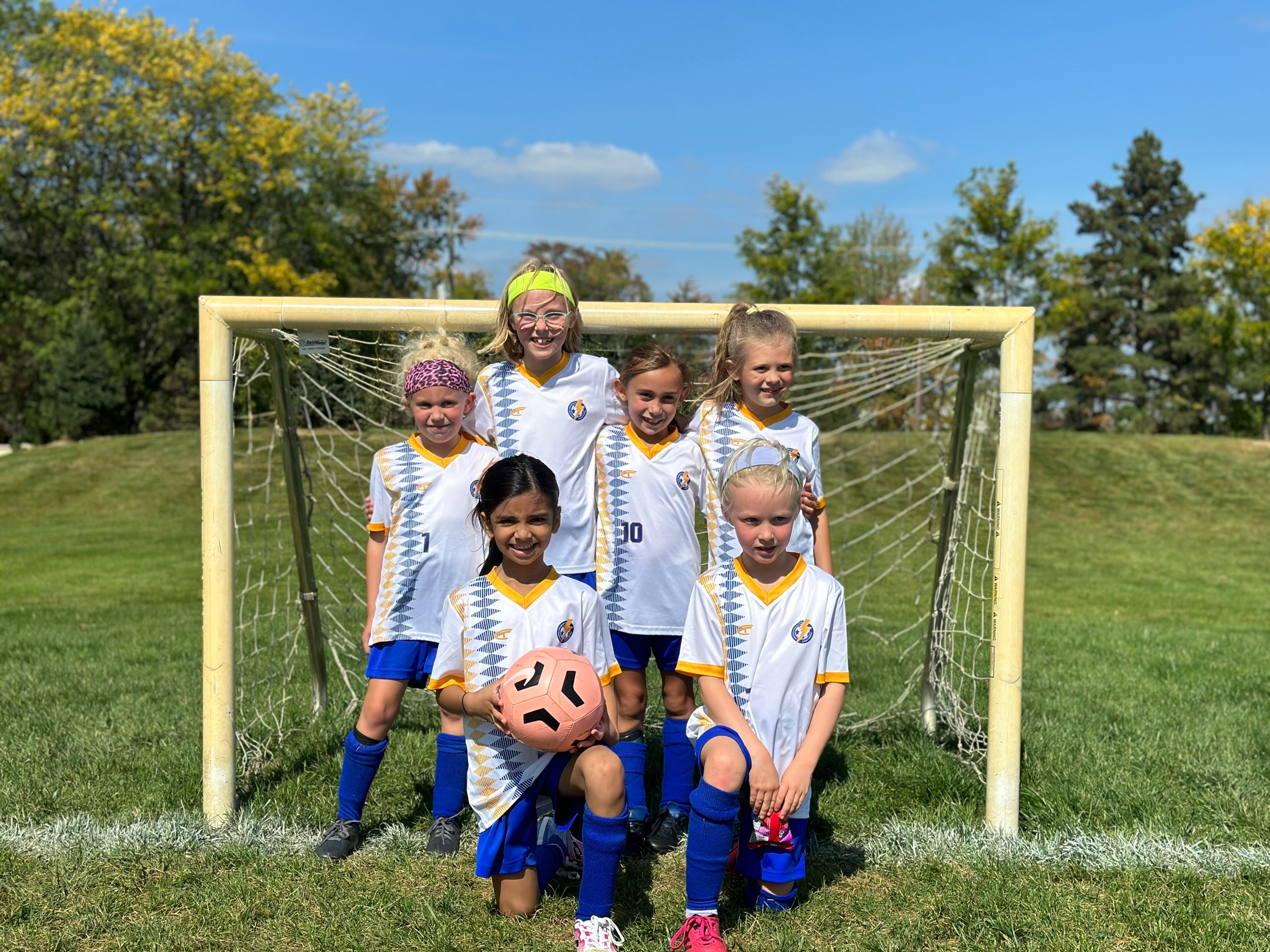
WSSL Select B-U8 Novi Parks Lightning Blue Champs (D2 Orange)
Novi Parks u8 Girls D1 Red CHAMPIONS!
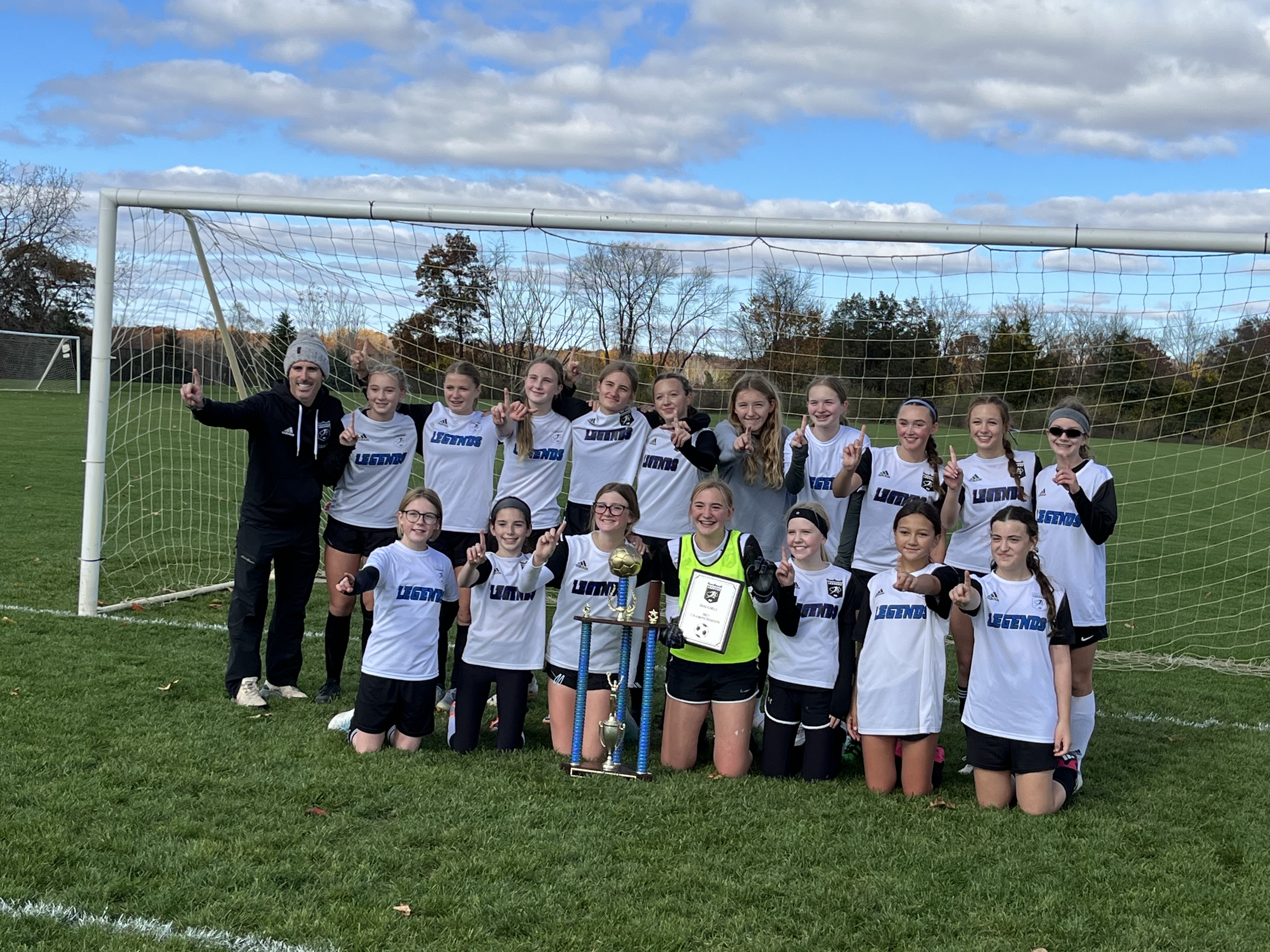
Legends u15 Theisen league champions
Fri, 24 Aug 2012 15:36:28 EDT by , 2291451 views
The Western Suburban Soccer League (WSSL) is a youth soccer league consisting of both recreational and select levels of play for ages U7-U19. There are more than 55 clubs in WSSL, featuring more than 700 teams and 10,000 players annually.
If you are a club looking for a league, please complete and submit this form.
If you are a player looking for a team, please contact one of our WSSL clubs for more information.